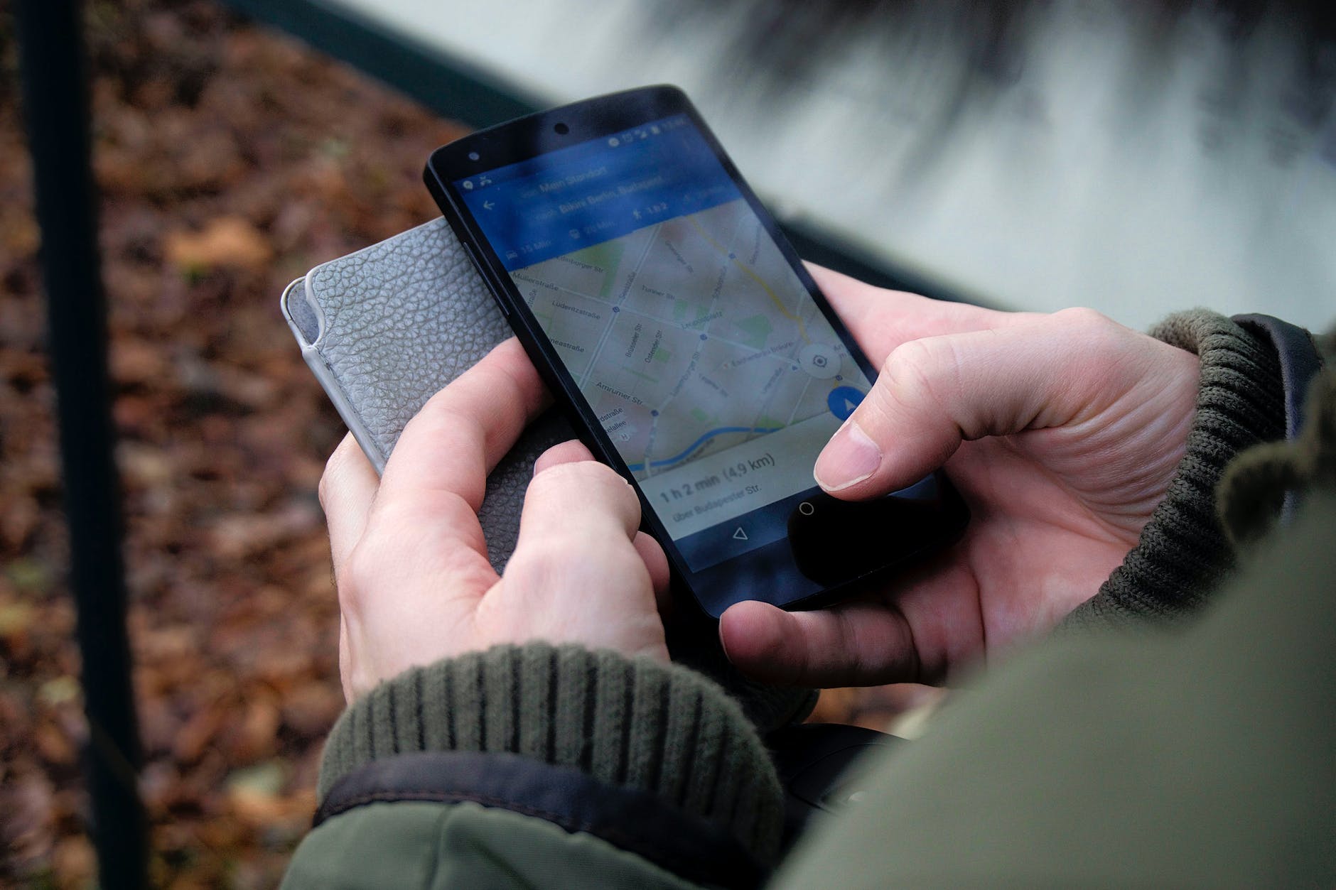
Location
Place visualization and analytics are essential tools for understanding how people interact with their physical environment. By allowing us to view data from various perspectives, these technologies enable us to identify patterns and trends and make better-informed decisions. Place visualization and analytics are becoming increasingly important in various sectors, such as urban planning, public safety, environmental protection, transportation planning, retail, hospitality, real estate development, and more.
In this article, we will discuss the common practices for enhancing place visualization and analytics. Location technology has revolutionized location visualization and location analytics in a big way, allowing users to access powerful insights and new perspectives on their location-related data. Common practices for enhancing place visualization and location analytics include using overlays, data aggregations, and advanced location contextualization. Overlays provide an easy way to visualize different datasets within a single view, while data aggregation makes it easier to identify patterns and trends at larger scales. here are some common practices for enhancing place visualization and location analytics that you should consider:
Understanding Data Sources
When it comes to enhancing place visualization and location analytics, one of the most important steps is understanding the technology’s data sources. Different data types can provide different insights into an area or environment. For example, census data can give us population statistics, while satellite imagery can help us create a detailed map of an area. Understanding which data sources are available is crucial for optimizing analysis and providing a comprehensive picture of an area or environment.
Data Integration
Once the relevant data sources have been identified, they must be integrated into the system in order to create a cohesive view of the area or environment being analyzed. This often requires connecting multiple datasets together in order to generate meaningful results. It also ensures that all datasets are formatted correctly so the system can easily read them. Data integration allows for greater accuracy when analyzing locations since all relevant information will be accounted for in the analysis process.
Analyzing Patterns & Processes
Having access to all relevant datasets enables analysts to identify patterns and processes that would otherwise remain hidden if only certain datasets were used. Understanding how different elements interact within an area or environment makes it possible to gain deeper insights into how people move around their surroundings and how they interact with certain aspects of their environment, such as buildings or businesses. Analyzing patterns and processes helps inform decision-making by enabling analysts to determine what works best in a given situation or environment.
Developing Automated Tools & Systems
One way to further enhance place visualization and location analytics are through developing automated tools or systems that can carry out specific tasks without requiring manual input from users every time a task needs to be completed. Automated tools are especially useful when dealing with large amounts of data since they allow analysts to quickly identify areas where a deeper investigation may be required without having to manually sift through large amounts of information first. Automated tools also make it easier for multiple users from different backgrounds (e.g., developers, business users, etc .) to collaborate on projects since tasks can be assigned quickly without requiring everyone’s input on every decision made along the way.
Advanced Visualizations & Reporting Techniques
Finally, advanced visualization techniques such as heat maps, timeline graphs, GIS mapping, network diagrams, 3D visualizations, etc . allow analysts to visualize complex data sets in an easily understandable manner quickly. These visualizations help uncover previously unseen relationships between various elements within an area or environment, which decision-makers can use when making informed decisions. Advanced reporting techniques such as dashboards also facilitate easier sharing of results from analyses since reports can now be created quickly using prebuilt templates instead of having to code them from scratch each time.
Final Thoughts:
With a wide range of techniques available for enhancing place visualization and location analytics, it is becoming increasingly easy for businesses, organizations, governments, etc., to gain deeper insights into their physical environments. By understanding which data sources are available, integrating multiple datasets together correctly, analyzing patterns & processes within an area or environment; developing automated systems; utilizing advanced visualizations & reporting techniques; organizations are better able to understand their customer’s needs & wants, therefore, improving customer experience while simultaneously reducing operational costs & increasing profitability.